Viac
Viac info:
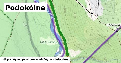
aktualizovať mapu,
uprav v JOSM (pokročilé),
500662621,
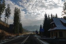
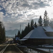
stiahni GPX, oblast id: 4578639, dlzka: 791, oblast name: Jurgów, oblast asci: jurgow, psc: {5956}, obce:
Poľsko,
powiat tatrzański,
gmina Bukowina Tatrzańska,
Podtatranská brázda,
Jurgów, lon: 20.15830859412177, lat: 49.30889494896215, lanes: 2, maxspeed: 90, maxweight: 7.5, smoothness: excellent, maxaxleload: 8, osm version: 14, agricultural: no, maxspeed:bus: 70, maxspeed:hgv: 70, lanes:forward: 1, osm changeset: 0, osm timestamp: 2025 11 01T11:37:41Z, lanes:backward: 1, source:maxspeed: PL:rural, G, 50, 70, PL:sign B 5 note, 90, Rozporządzenie Ministra Infrastruktury i Budownictwa z dnia 21 kwietnia 2017 r, 1, 7.5, 70, 70, https://edziennik.gddkia.gov.pl/DU GDDKIA/2025/7/akt.pdf, sign, PL:rural, 70, Nie dotyczy przewozu drogowego do miejscowości JAWORZYNA TATRZAŃSKA, ZDZIAR, TATRZAŃSKA KOTLINA, PL:sign B 5 note, none @ marked,